
Seamless and intelligent flight tracking
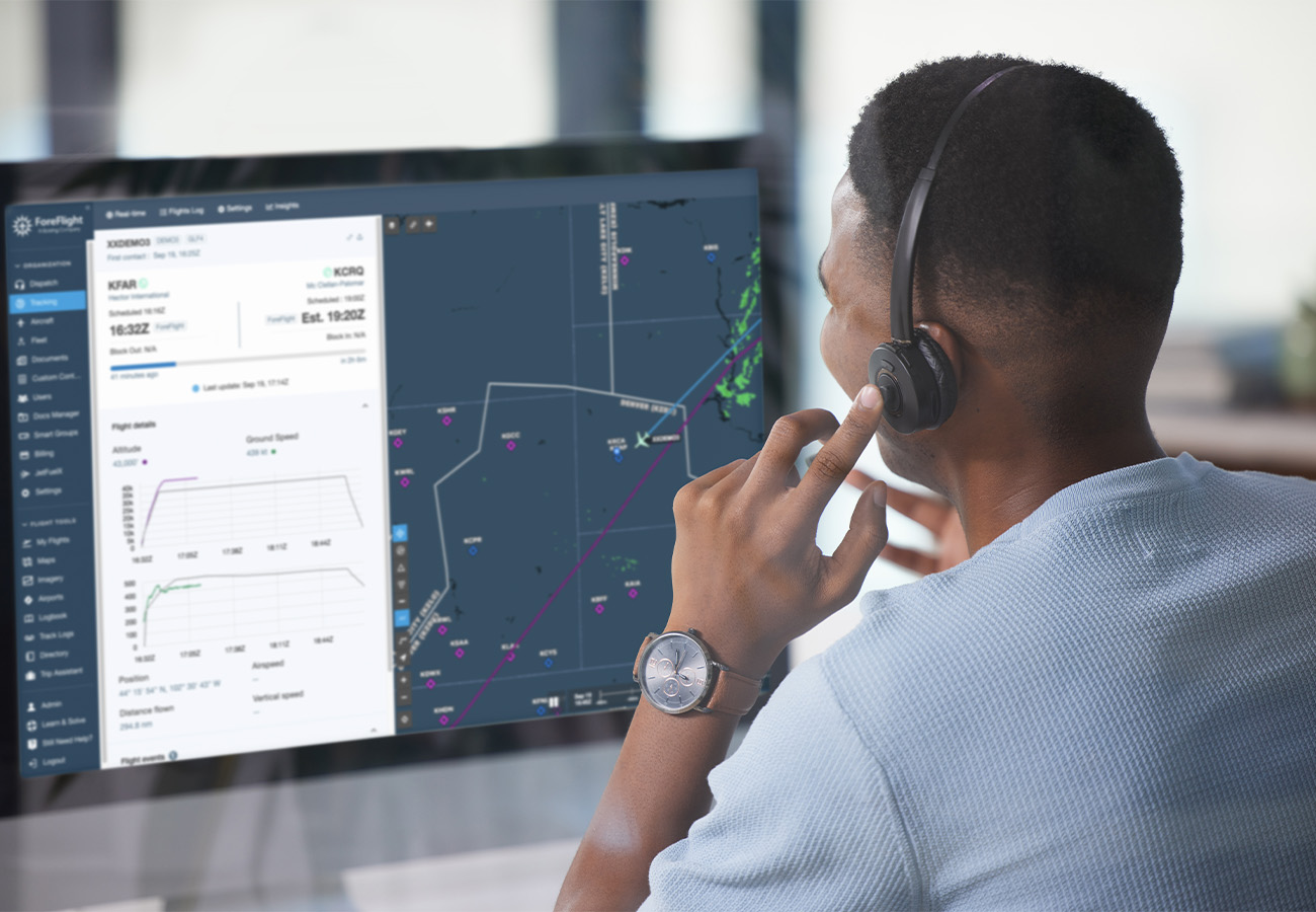
ForeFlight Tracking integrates live flight status and progress information in Dispatch, both in a map-based view and within the Flights tab.

Smartly integrated into ForeFlight Dispatch
Monitor the status of flights while planning for future ones. Tracking eliminates switching to another service by keeping the most critical flight information easily accessible. Combining flight planning and monitoring in Dispatch enables flight planners to anticipate and respond to adverse factors, such as weather, to mitigate schedule impacts proactively before they occur.


Increased operational visibility
ForeFlight Tracking provides flight planners with real-time flight status and progress information in Dispatch, enhancing operational visibility into current flights to inform future plans.
By providing flight tracking information within the flight tab—and through a dedicated map view—schedulers and dispatchers can launch, track, and close flights all within one platform.

Real-time flight tracking details
Flight operation leaders can quickly identify and mitigate delays and disruptions with map and profile views. The tracking map overlays flight plan routes with weather radar, comparing what the aircraft flew to what was planned.
The profile view adds further dimension, displaying groundspeed and altitude as charts to identify discrepancies in speed or altitude quickly.
Peace of Mind with 24/7 Flight Following
Take the pressure off your ops team with round-the-clock support from certified dispatchers. With ForeFlight Flight Following, someone is always watching, wherever you fly.
Real feedback. Real results.
See how customers benefit from a fully integrated flight tracking solution—no more tab fatigue, no additional subscriptions to manage, just smarter decisions in one place.

Ben Kiteley
Director of Operations

Subscription plans suited to your operation
Choose from two subscription levels designed to suit your requirements and the areas in which you operate. Standard Tracking utilizes the terrestrial-based ADS-B network to provide you with a cost-effective option for tracking flights. For operations beyond the ADS-B ground network, the Enhanced Tracking subscription utilizes space-based
ADS-B to ensure worldwide coverage.
Standard Coverage
A cost-effective flight tracking solution for those operators that fly within range of the ADS-B ground stations. Supports operators with blocked tail numbers.
Tracking Sources


Enhanced Coverage
Seamless coverage for operators with flights over oceans or other remote areas. Supports operators with blocked tail numbers.
Tracking Sources

FAQs
Find answers to common questions about our collaborative flight tracking solution.